


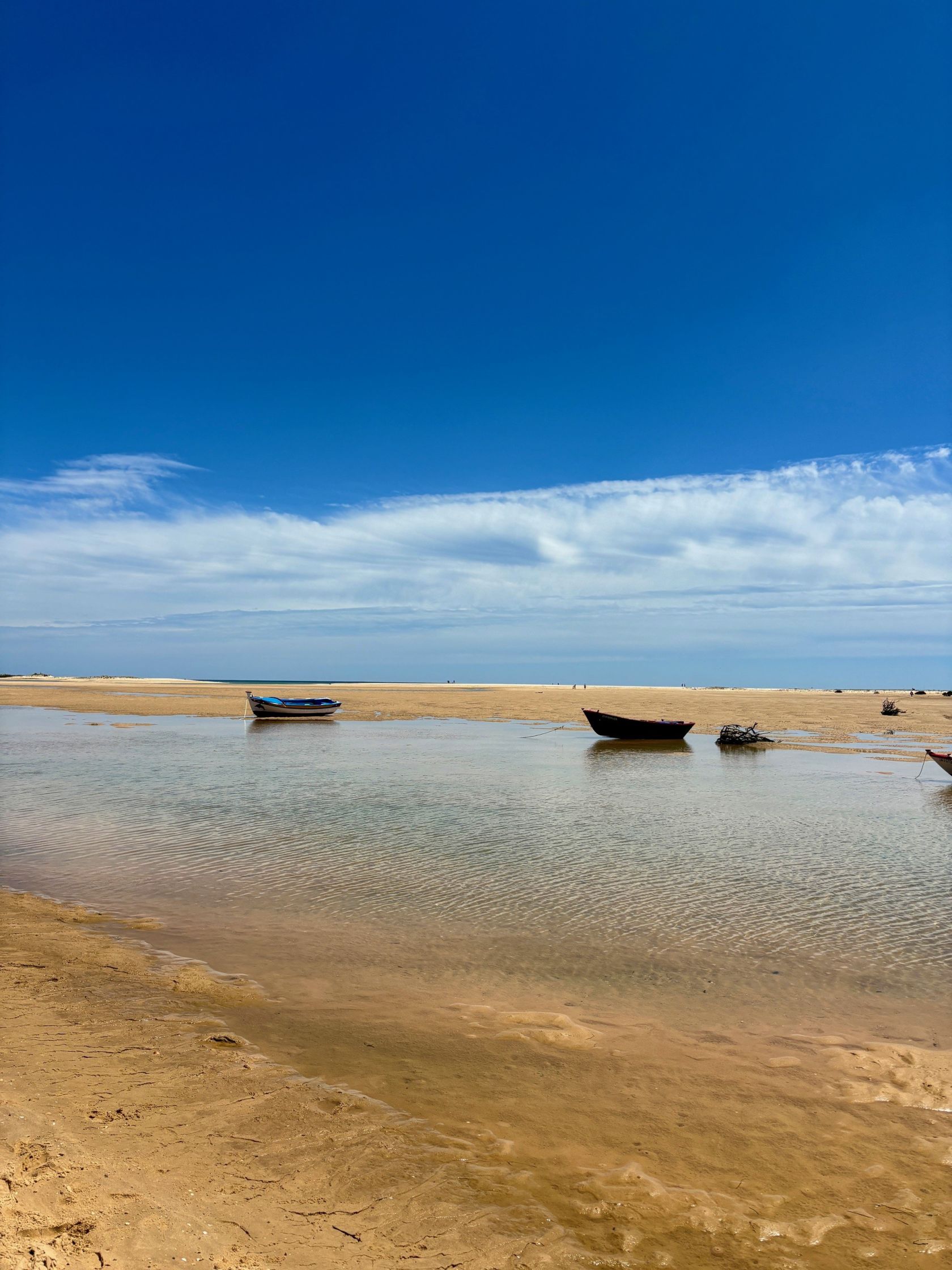
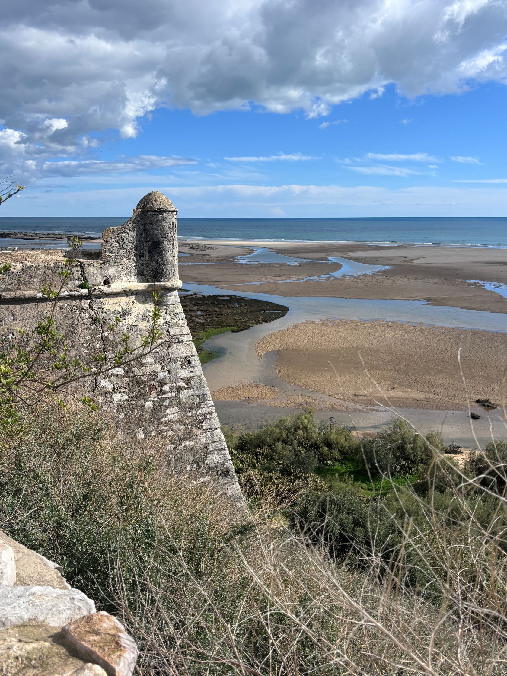
From this position, the view opens across tidal channels and sandbanks toward the Atlantic. Spain lies just beyond the horizon. The setting explains why this hill became a settlement long before the modern Algarve developed.
Archaeological evidence suggests the area was active in antiquity. Mediterranean traders moved along this coast thousands of years ago, stopping at natural anchorages where boats could shelter, and goods could be exchanged. Later, during Roman rule, communities across the eastern Algarve relied heavily on fishing and fish processing. The nearby lagoon and coastline would have provided ideal conditions for that work.
The settlement expanded during the Islamic period of the Iberian Peninsula. At that time, the town was known as Qast’alla and functioned as a small regional centre. Excavations have revealed storage pits and other remains linked to agriculture and food production, which suggests the surrounding land supported a stable population.
Control of the area shifted in the 13th century during the Christian reconquest of southern Portugal. In 1240, Portuguese forces captured the settlement from Moorish rule. Administration of the territory later passed to the Order of Santiago, a military order responsible for governing and protecting parts of the southern frontier. Their role included overseeing coastal defence and managing local land.
Cacela received a royal charter in the late 13th century during the reign of King Dinis. For several centuries, it held modest administrative importance within the region. Its elevated position above the lagoon allowed clear views of vessels travelling along the coast. At a time when sea routes were central to trade and communication, that vantage point carried strategic value.
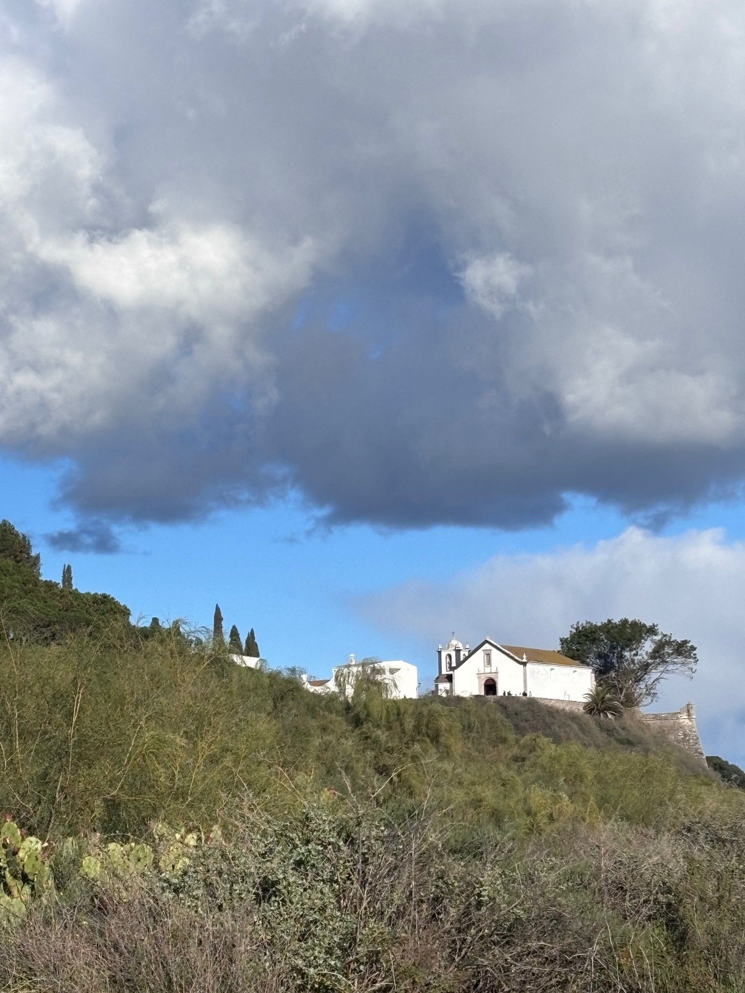
Two structures still define the village today. One is the church of Igreja de Nossa Senhora da Assunção, first built in the early 16th century. The building replaced an earlier church and was later repaired after the devastating earthquake of 1755, which caused widespread damage across southern Portugal.
Nearby stands the fortress that overlooks the estuary. Defensive structures existed on this site during earlier periods, though the current fort dates mainly from the 18th century. It formed part of a broader coastal defence network designed to watch shipping routes and protect the shoreline.
Over time, the importance of Cacela declined. Changes to the coastline altered navigation routes, and nearby towns grew in influence. Many residents moved toward inland agricultural estates and larger settlements.
Today, the historic centre remains small. A short line of houses, the church, and the old fortress occupy the hill above the lagoon. Visitors often arrive for the view across the Ria Formosa and the calm atmosphere that contrasts with busier parts of the Algarve coast.
Despite its size, Cacela Velha offers a clear record of the region’s past. Layers of occupation, defence, and rebuilding remain visible in a village that continues to hold the same position above the water where earlier generations first recognised its value.